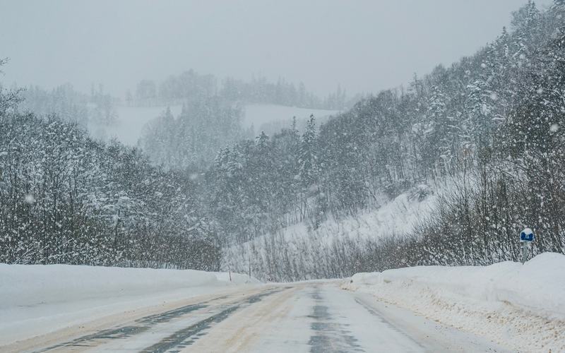
A monstrous blizzard bomb cyclone barreled through the Upper Midwest and Great Lakes regions on Sunday, March 15, 2026, dumping heavy snow at rates of 1 to 3 inches per hour amid wind gusts up to 70 mph. The storm created whiteout conditions and massive snow drifts, prompting blizzard warnings for over 11 million people from the Dakotas to Illinois.
Snow accumulations reached 24.5 inches in Weston, Wisconsin, and 20.5 inches in Menominee, Michigan, by late afternoon, with similar reports from Rib Mountain State Park in Wisconsin at 24 inches and Reads Landing, Minnesota, at 20.5 inches. Forecasts called for 18 to 24 inches in Green Bay, Wisconsin, and up to 3 to 4 feet in Marquette, Michigan, through Monday. Areas south of the heaviest snow band, including Milwaukee and locations along Interstate 94, faced a wintry mix of freezing rain and sleet, with ice accumulations of 0.25 to 0.50 inches possible.
The National Weather Service issued blizzard warnings across portions of Illinois, Iowa, Michigan, Minnesota, Wisconsin, and the Dakotas, where sustained winds of 30 to 40 mph combined with heavy snow reduced visibilities to below a quarter mile. Michigan Governor Gretchen Whitmer activated the State Emergency Operations Center to monitor the situation.
Travel ground to a halt as major highways closed. The Mackinac Bridge in Michigan shut down due to near-zero visibility, while South Dakota closed Interstate 90 from Sioux Falls to Wall and Interstate 29 from Sioux Falls to the North Dakota line. No-travel alerts affected central Wisconsin and Steele County, Minnesota. State facilities closed in Michigan's Upper Peninsula and 13 northern Lower Peninsula counties through Tuesday morning.
Air travel faced severe disruptions, with over 9,000 U.S. flights affected, including 6,561 delays and 2,702 cancellations by evening. Chicago O'Hare International Airport issued a ground stop for inbound flights until 6:45 p.m. ET, with delays averaging over five hours. Minneapolis-St. Paul International Airport canceled 70% of its schedule due to snow-reduced runway capacity.
Power outages exceeded 400,000 customers nationwide as of 5:46 p.m. ET, with risks heightened by high winds and ice accretion in northern Michigan. The storm followed a recent windstorm that impacted over one million customers.
Additional hazards included giant ice waves along Lake Michigan's shoreline from 60-mph gusts and ice storm warnings in northern Michigan. No casualties directly linked to the blizzard were reported as of Sunday evening.
The system, part of a broader March megastorm threatening nearly 200 million people, will continue into Monday with colder air following, bringing highs 15 to 25 degrees below average and wind chills in the negative teens for cities like Minneapolis and Green Bay.

Comments
No comments yet. Be the first to share your thoughts.