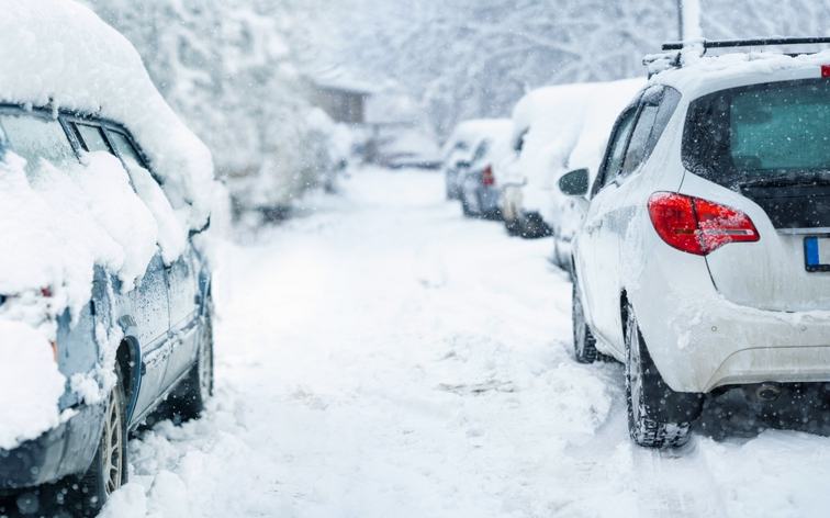
A powerful winter storm is expected to hit the Northeast this weekend, bringing heavy snow, strong winds, and potential coastal flooding to major cities from Washington, D.C., to Boston. Forecasters say the system will intensify Sunday into Monday, putting roughly 80 million people at risk of moderate to extreme winter weather impacts.
The National Weather Service has issued blizzard warnings for parts of the coastal Northeast, including New York City, the first such warning there since 2017. The warnings are in effect from Sunday morning through Monday afternoon. Snowfall rates of 1 to 2 inches per hour are expected Sunday night in some areas, with sustained winds of 25 to 35 mph and stronger gusts near the coast.
Heavy snow and blizzard conditions are forecast from Delaware to southern Connecticut, with the heaviest accumulations stretching from Delaware through Massachusetts. New York City, Long Island, and coastal Connecticut could see 13 to 18 inches or more, while intense snow bands may push totals beyond a foot in some locations.
Meteorologists say the storm may rapidly intensify, a process called bombogenesis, as cold air collides with warmer Atlantic waters. Even a slight shift of 50 to 100 miles in the storm’s track could significantly affect snowfall totals, with the easternmost areas expected to experience the worst conditions.
Coastal communities in New Jersey and New York are also under flood watches beginning Sunday evening. Forecasters warn of moderate to major coastal flooding, high surf, and the potential for submerged vehicles and flooded low-lying buildings. Travel conditions are expected to worsen Sunday night, with possible road closures, flight delays, and school cancellations, before the storm begins to weaken Monday night.

Comments
No comments yet. Be the first to share your thoughts.