
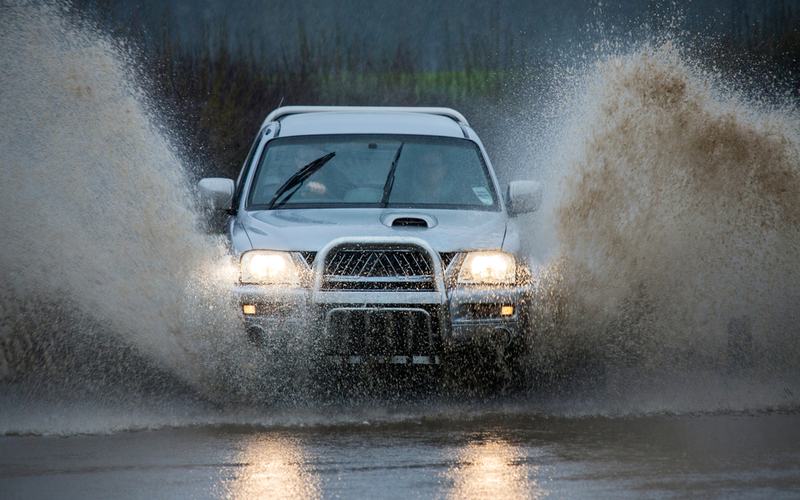
A series of atmospheric rivers brought heavy rainfall to the Pacific Northwest on Friday and into the weekend. The systems followed earlier storms that delivered nearly an inch of rain to parts of western Washington earlier in the week.
National Weather Service meteorologists anticipated another inch or more of precipitation between Friday and Saturday in many areas. Coastal regions and the Olympic Peninsula faced the strongest impacts, with models projecting totals of several inches over multiple days.
These events provided much-needed moisture to a region that experienced dry conditions earlier in the season. Experts noted that the Pacific Northwest typically sees a dozen or more atmospheric rivers each year, making them a standard feature of the wet season rather than an unusual occurrence.
The latest systems originated from moisture plumes stretching across the Pacific. One moderate-strength atmospheric river moved onshore early Friday, with another following closely behind. Forecasters highlighted high confidence in atmospheric river conditions persisting along the coast through the weekend.
Potential for localized flooding in streams, roads, and low-lying areas prompted monitoring by officials. Strong winds accompanied some systems, particularly along the coast, though impacts remained consistent with typical autumn patterns.
Precipitation totals could reach several inches in the mountains, supporting snowpack development at higher elevations. The ongoing activity extended through at least Monday in some forecasts.
Residents prepared for continued wet weather, with no widespread disruptions reported as of Friday morning. The pattern aligned with seasonal expectations for the region.

Comments
No comments yet. Be the first to share your thoughts.