
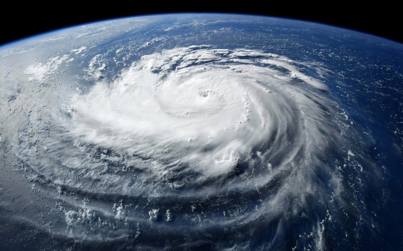
Hurricane Polo made landfall early Tuesday on Mexico's Baja California Sur peninsula as a Category 2 storm, pummeling the region with damaging winds and heavy rain. The storm hit just south of Las Barrancas with maximum sustained winds of 110 mph before crossing the peninsula.
The National Hurricane Center reported Polo located about 35 miles west-northwest of Loreto at 2 a.m. MST Tuesday, with winds near 80 mph. It continues moving northeast and is forecast to make a second landfall in southern Sonora later Tuesday before weakening inland.
Mexican authorities reported no serious damage or loss of life in Baja California Sur from the storm's passage. About 700 people remained in shelters Tuesday morning but were expected to return home soon. Baja California Sur Gov. Víctor Castro noted that the hurricane brought rain but no fatalities.
Polo is expected to produce 6 to 12 inches of rain across portions of Baja California Sur, with risks of life-threatening flash flooding and mudslides in steep terrain. Southern and central Sonora could see 4 to 6 inches, with isolated totals up to 8 inches.
The hurricane formed on September 20 and reached Category 5 strength earlier in its path, marking it as one of the season's most intense storms. Earlier impacts included two deaths and three missing persons in Jalisco from heavy rainfall and landslides.
Forecasters warned of dangerous surf and rip currents along Mexico's northwest coast. The storm's moisture may also contribute to heavy rainfall and flooding potential in the U.S. Southwest later this week.
Residents in affected areas had prepared by stocking supplies and boarding up properties ahead of the storm. Polo is the latest in an active 2026 Pacific hurricane season influenced by strong El Niño conditions.

Comments
No comments yet. Be the first to share your thoughts.