
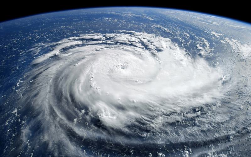
Hurricane Isaias strengthened into a Category 2 storm on Thursday and continued to intensify as it moved toward the northern Gulf Coast. The National Hurricane Center reported maximum sustained winds near 105 mph by late Thursday evening, with the system centered about 260 miles south of the Mississippi River mouth.
Forecasters expect Isaias to remain a dangerous hurricane at landfall, possibly peaking near Category 3 strength early Friday before some weakening. The center is projected to cross the coast near the Alabama-Florida border late Friday night or early Saturday.
Hurricane warnings cover areas from Ocean Springs, Mississippi, to the Bay/Gulf County line in Florida. Storm surge warnings are in effect from the mouth of the Mississippi River to the Suwannee River in Florida, with potential surges of 5 to 7 feet in coastal zones. Rainfall totals of 3 to 7 inches are forecast across the central Gulf Coast, with isolated amounts up to 15 inches possible.
Alabama Governor Kay Ivey declared a state of emergency for multiple counties and ordered evacuations of non-residents from Gulf Shores, Orange Beach, and Dauphin Island. Florida Governor Ron DeSantis issued emergency declarations for 25 counties and urged residents to complete preparations. Mandatory evacuations were ordered in parts of the Florida Panhandle.
The storm has already disrupted energy production. Offshore operators evacuated personnel from 121 production platforms and five rigs in the Gulf of Mexico. Roughly 63 percent of oil production and 57 percent of natural gas output from the region have been shut in.
Isaias marks the first Atlantic hurricane of the 2026 season. It formed from a tropical storm that rapidly intensified Wednesday night amid record-warm Gulf waters and low wind shear.
Residents along the coast are securing property and stocking supplies ahead of expected high winds, heavy rain, and possible tornadoes. The storm is expected to weaken after landfall but could bring flooding farther inland into the weekend.

Comments
No comments yet. Be the first to share your thoughts.