
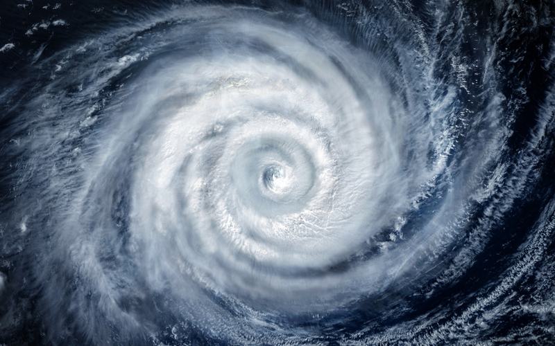
Hurricane Trudy reached Category 2 strength early Sunday as its center moved northwest off Mexico's Pacific coast.
The National Hurricane Center reported at 2 a.m. MST that the storm's center was located near 18.6N 106.3W, about 135 miles west-southwest of Manzanillo and 130 miles south-southwest of Cabo Corrientes. Maximum sustained winds stood at 105 mph with a minimum central pressure of 970 mb. The system moved northwest at 10 mph.
A hurricane warning remained in effect from Manzanillo northward to Cabo Corrientes. Forecasters warned of damaging hurricane-force winds, especially in gusts, within the warning area today. Dangerous storm surge and large destructive waves also threatened areas exposed to onshore winds.
Heavy rainfall continued across the southwest Mexican coast between Guerrero and Nayarit. The storm was expected to produce 4 to 8 inches of rain with isolated totals near 12 inches in Michoacán, Colima, and Jalisco through the weekend. Life-threatening flooding and mudslides posed the greatest risk in steep terrain.
Trudy strengthened slightly overnight with a more distinct eye and better-organized convection visible on satellite imagery. Additional strengthening remained possible this morning before increasing wind shear and dry air intrusions prompted weakening later in the day.
The center was forecast to pull away from the southwest and west-central Mexican coast tonight before drifting slowly south of Baja California Sur on Monday and Tuesday. Swells generated by the hurricane continued to affect the southwestern Mexican coast and will spread northward, creating life-threatening surf and rip current conditions for several days.
Mexican authorities urged mariners and coastal residents to exercise caution due to high waves, heavy rain, and the risk of rising rivers, flooding, and landslides. The storm follows recent Pacific systems that already saturated the ground in parts of the region.

Comments
No comments yet. Be the first to share your thoughts.