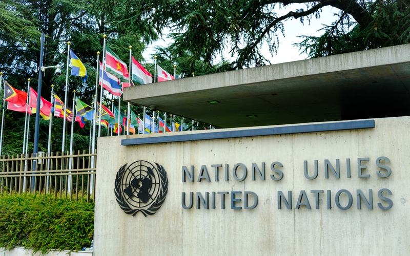
The United Nations General Assembly voted 164-1 Friday to adopt the “Correct the Map” resolution, an African-led initiative encouraging wider use of equal-area map projections, particularly the Equal Earth projection. Six countries abstained: Estonia, Georgia, Lithuania, Moldova, Serbia and Ukraine.
The resolution focuses on the way commonly used world maps portray the relative size of continents. Supporters argue that the widely used Mercator projection makes landmasses farther from the equator appear disproportionately large while making equatorial regions, including Africa, appear smaller than their actual area.
Equal Earth, developed in 2018, is designed to preserve the relative area of continents more accurately. The resolution encourages governments, schools, international organizations, and technology companies to consider equal-area projections when the comparative size of landmasses is important.
The measure does not ban the Mercator projection or legally require countries to replace it with Equal Earth. Instead, it promotes broader use of equal-area maps and calls for greater awareness of the limitations of different map projections.
Togo introduced the resolution on behalf of the African Group, with backing from the African Union. Supporters said distorted maps can influence how people understand geography and contribute to an inaccurate perception of Africa and other regions.
The United States opposed the resolution. Its representative argued that the initiative was part of a broader ideological agenda and criticized the General Assembly for focusing on the issue.
The vote does not change the geography of the world or alter international borders. It instead represents a nonbinding recommendation concerning how the Earth's geography is visually represented on maps.

Comments
No comments yet. Be the first to share your thoughts.