
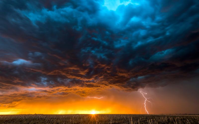
Southern California braced for heavy rain, flooding, and potential mudslides Thursday as an atmospheric river storm prompted evacuation warnings in Los Angeles County burn scar areas.
Los Angeles Fire Department officials issued the warnings at 6 p.m. Wednesday for zones near the Palisades, Sunset, and Hurst fire burn scars. The alerts cover specific Genasys zones in Pacific Palisades, Mandeville Canyon, and the Sunset burn area, remaining in effect until 8 a.m. Friday. Los Angeles police officers visited high-risk homes to notify residents directly.
Los Angeles County officials extended similar warnings to areas near the Eaton, Kenneth, and Canyon fires in places including Altadena, Malibu, Topanga, Calabasas, Sylmar, and Castaic. County emergency services contacted at-risk residents and advised them to prepare to leave. The National Weather Service issued a Flood Watch for Los Angeles County from 6 a.m. to 6 p.m. Thursday, with expectations of 1 to 3 inches of rain regionwide and up to 5 inches in the foothills. Peak rainfall rates could reach 1 inch per hour in thunderstorms.
Flash flood warnings were active in multiple areas including Santa Monica, North Hollywood, Burbank, and parts of the San Fernando Valley until midday Thursday. Forecasters noted the storm could produce gusty winds, large ocean swells, and mountain snow. California activated its State Operations Center to coordinate resources ahead of the weather.
The storm followed record rainfall in Northern California on Wednesday, where San Francisco broke a daily rain record. Residents were urged to avoid flood channels, canyons, and non-essential travel. Beach hazards and wind advisories extended across coastal and mountain areas.
Authorities emphasized that recent wildfires left hillsides vulnerable to debris flows once rainfall rates exceed half an inch per hour. The warnings target properties most exposed to these hazards.

Comments
No comments yet. Be the first to share your thoughts.