
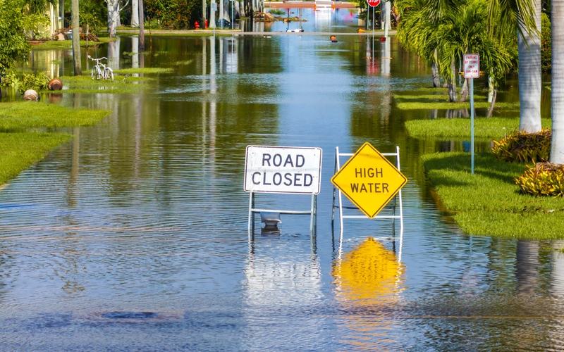
Oklahoma City firefighters searched a creek Wednesday after receiving a report of a possible drowning as heavy rain swept across central Oklahoma, flooding roads and prompting warnings from weather officials. The Oklahoma City Fire Department said crews searched both banks downstream toward the Oklahoma River, but no victim had been located as of Wednesday.
The department said the morning storms also kept firefighters busy responding to vehicle accidents and calls involving power lines. Officials urged drivers to slow down, leave additional stopping distance and avoid flooded roads.
“Turn Around, Don’t Drown!” the department warned in a social media post.
The National Weather Service office in Norman issued a flash flood warning early Wednesday for Oklahoma County, which includes Oklahoma City, along with portions of Canadian, Cleveland, Logan and Kingfisher counties. Radar estimates indicated that 1 to 3 inches of rain had fallen in the affected areas, with up to another 2 inches possible.
A second warning issued shortly after noon covered portions of Canadian and Kingfisher counties, as well as Blaine County to the northwest and Caddo County to the southwest. That warning reported rainfall totals ranging from 4 to 11 inches.
Both warnings cautioned that flash flooding could affect small creeks and streams, urban areas, highways, streets and underpasses.
Forecasters warned that the threat would continue as repeated rounds of storms move across the Plains. AccuWeather meteorologists identified a broad area stretching from West Texas to southwestern Missouri as particularly vulnerable to flash flooding, including Lubbock, Texas, Oklahoma City and Springfield, Missouri.
AccuWeather meteorologist Jack Wojczynski said a large area extending from western Texas into central Illinois could receive 2 to 4 inches of rain by Thursday night, with a corridor of 4 to 8 inches possible from northwestern Texas through central Oklahoma into Missouri.
Flash flooding will remain possible, particularly in low-lying locations and areas with poor drainage, Wojczynski warned.
AccuWeather's forecast calls for rainfall totals reaching as much as 14 inches from Tuesday night through Thursday night. The forecaster said moisture associated with Hurricane Simon in the eastern Pacific is influencing the storm system, although moisture surging north from the Gulf of America is expected to play a larger role.
The heavy rainfall comes as parts of the Plains continue to face extreme to exceptional drought. Oklahoma City has received only 55% of its normal rainfall for the year, according to AccuWeather, underscoring the contrast between prolonged dry conditions and the immediate danger posed by intense downpours.
Travel delays were possible through Wednesday night along portions of Interstates 20, 35, 40, 44, 70 and 80 as storms and flooding affected the region.
The storm system is expected to shift east by the end of the week as cooler air settles over the Plains. Until then, officials are urging residents to monitor weather alerts and avoid driving or walking through flooded areas, where water depth and current strength can be difficult to judge.

Comments
No comments yet. Be the first to share your thoughts.