
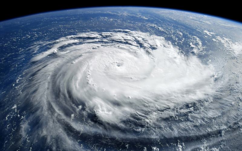
Subtropical Storm Josephine formed off the Mid-Atlantic coast on Wednesday and is now located several hundred miles south of Nantucket, Massachusetts, with maximum sustained winds of 65 mph.
The National Hurricane Center reported the center of Josephine near 37.7 degrees north latitude and 69.4 degrees west longitude at 3 a.m. EDT Thursday. The system is moving north-northeast at 6 mph.
Josephine originated as a non-tropical low pressure area that gained subtropical characteristics over the weekend. Forecasters expect the storm to strengthen slightly while remaining a subtropical system through early Thursday before transitioning to a post-tropical cyclone.
The storm is forecast to accelerate northeastward and move away from the United States coast today, staying south of Nova Scotia and Newfoundland. No coastal watches or warnings are in effect for the U.S. mainland.
Despite staying offshore, Josephine is generating hazardous conditions along the East Coast. Coastal flood advisories and warnings are active from North Carolina through New England, with minor to moderate inundation possible at high tide. High surf and dangerous rip currents threaten beaches from the Carolinas northward, with waves reaching up to 14 feet in some areas.
Gusty winds are affecting coastal communities, particularly in the Northeast, where gusts of 30 to 50 mph have been reported in spots like Long Island and eastern Massachusetts. Beach erosion is ongoing, especially along the Outer Banks of North Carolina where some roads have sustained damage.
Josephine marks the tenth named storm of the 2026 Atlantic hurricane season. The system is expected to become an extratropical cyclone with hurricane-force winds by Friday while remaining well out to sea.
Marine interests should exercise caution through the end of the week as gale-force winds and large swells persist over the Atlantic waters.

Comments
No comments yet. Be the first to share your thoughts.