
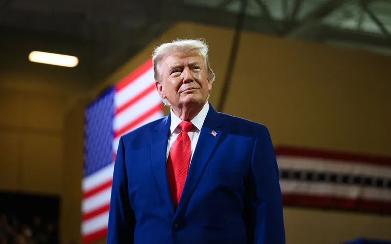
President Donald Trump shared images on Truth Social showing Canada, Mexico, Greenland, and other foreign territories covered by the American flag as part of what appeared to be an expanded United States.
One map showed the American flag covering large portions of Canada, Mexico and Greenland, along with other territories in the Caribbean. Trump posted the map without an accompanying explanation. Other images shared during the Labor Day weekend similarly depicted foreign territory under U.S. control.
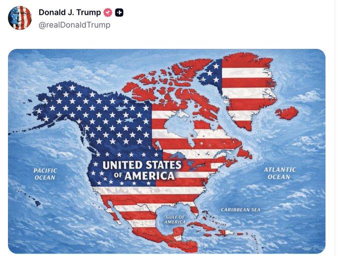
The images do not change U.S. borders or constitute a formal annexation proposal. No new administration policy regarding Canada, Mexico, Greenland, or the other territories depicted was announced alongside the posts.
The maps came as Trump has repeatedly expressed interest in expanding U.S. territory, including his longstanding push to acquire Greenland and his repeated suggestion that Canada could become the 51st state.
The posts also followed Trump's proposal to rename New Mexico as “New America.” Trump shared several maps Monday showing the southwestern state under the proposed name after saying Sunday that he had received suggestions to change its name and liked the idea. He described “New America” as more prestigious and beautiful for the state.
New Mexico Gov. Michelle Lujan Grisham, a Democrat, rejected the proposal.
“New Mexico's name isn't up for debate; it's been ours since before the United States existed,” Lujan Grisham wrote on X.
Trump does not have unilateral authority to rename New Mexico. The state’s name is established under state law and its constitutional framework, meaning a change would require action within New Mexico rather than a presidential executive order.
The New Mexico proposal followed Trump's Aug. 27 executive order directing the federal government to use “Lake America” for Lake Ontario within the federal geographic naming system. Canadian officials have continued to use Lake Ontario.
Trump previously ordered the federal government to use “Gulf of America” instead of “Gulf of Mexico.”
The latest maps go beyond those naming changes by depicting territory belonging to other countries as part of the United States. The images included Canada, Mexico and Greenland, as well as Cuba, Guatemala and other areas, according to reports on Trump's posts.
Trump has continued to advocate for acquiring Greenland, an autonomous territory within the Kingdom of Denmark, and has repeatedly raised the possibility of Canada joining the United States.
The maps themselves do not establish any new U.S. government policy toward Canada, Mexico, Greenland, or the other countries depicted. They instead represent another series of geographic images Trump has shared publicly as he continues to discuss U.S. territorial expansion and geographic renaming.
Comments
No comments yet. Be the first to share your thoughts.