
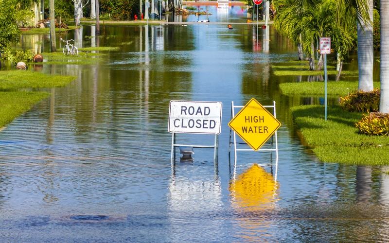
Nearly 10 million Americans are facing a heightened flood threat as heavy thunderstorms move across Arizona, New Mexico, Utah and Colorado. The National Weather Service has issued flood watches and warnings across portions of the region, including Phoenix.
Forecasters warn that rainfall rates could reach 2 to 3 inches per hour in the hardest-hit areas. AccuWeather meteorologists said isolated locations could potentially receive as much as 12 inches of rain, although such extreme totals are not expected to be widespread.
The heaviest rainfall could create especially dangerous conditions in canyons, near wildfire burn scars and along waterways. Rapidly rising water also poses a major threat to motorists, with the National Weather Service warning drivers never to attempt crossing flooded roads because floodwater can conceal washed-out sections of pavement.
The unusually strong moisture surge is occurring as El Niño strengthens in the tropical Pacific. NOAA said Sept. 10 that there was a greater than 90% chance the climate pattern would become a very strong event during the fall and winter of 2026-27.
The strong El Niño is also contributing to an unusually quiet Atlantic hurricane season. Five named tropical storms had formed by mid-September, but none had reached hurricane strength, and there were no active Atlantic tropical cyclones as of Wednesday.
NOAA's August outlook continued to call for below-normal Atlantic hurricane activity. Strong El Niño events typically produce stronger upper-level winds over the tropical Atlantic, increasing wind shear that can disrupt developing hurricanes. NOAA records show that every Atlantic hurricane season since 1950 that coincided with a strong El Niño produced below-normal overall activity.

Comments
No comments yet. Be the first to share your thoughts.