
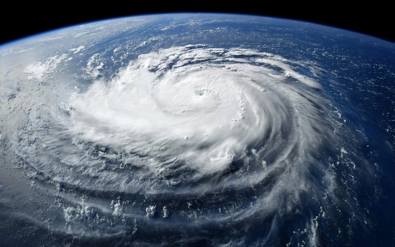
Tropical Storm Dolly formed over the central tropical Atlantic on Thursday, becoming the fourth named storm of the 2026 Atlantic hurricane season.
The National Hurricane Center issued its first advisory at 11 a.m. EDT, placing the center of Dolly about 1,555 miles east of the Leeward Islands. The storm had maximum sustained winds of 40 mph and was moving west at 24 mph. Minimum central pressure stood at 1007 millibars.
Dolly developed from a tropical wave that exited the African coast several days earlier and organized overnight. Forecasters noted that the system formed in a marginally favorable environment but faces increasing wind shear and other hostile conditions starting Friday that will limit its lifespan.
The storm is expected to maintain similar strength or strengthen only slightly over the next 48 hours before degenerating into a tropical wave prior to reaching the Leeward Islands this weekend. Little change in intensity is forecast during that period.
Heavy rainfall from the remnants of Dolly could affect the Leeward Islands late Saturday into Sunday, with additional impacts possible in the Virgin Islands, Puerto Rico, and Hispaniola on Sunday and Monday. Flash flooding remains a concern in areas of higher terrain, though no watches or warnings are currently in effect.
The 2026 Atlantic hurricane season has been quieter than average so far, consistent with predictions tied to a developing El Niño pattern that produces stronger upper-level winds and suppresses storm development. Dolly follows earlier systems Arthur, Bertha, and Cristobal.
No immediate threat exists to the U.S. mainland or Florida from the current track. The Atlantic hurricane season runs through November 30.

Comments
No comments yet. Be the first to share your thoughts.