
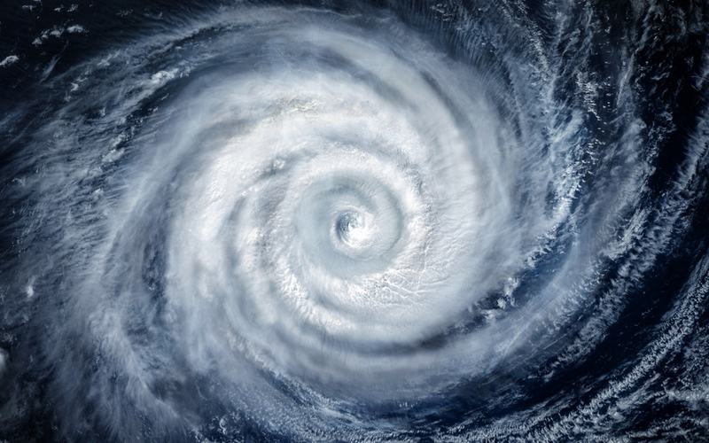
Cyclone Murasu formed over the southwest and adjoining westcentral Bay of Bengal on Sunday. The India Meteorological Department stated that the system intensified into a cyclonic storm by 11:30 a.m. IST, centered near latitude 12.1°N and longitude 85.3°E.
At that time, the storm sat approximately 560 kilometers east-southeast of Chennai, 630 kilometers east-southeast of Nellore, and 640 kilometers southeast of Machilipatnam. It moved west-northwestward at 23 to 27 kilometers per hour.
Officials expect Murasu to strengthen into a severe cyclonic storm by the morning of November 2. The system is then projected to turn northwestward and make landfall along the south Andhra Pradesh coast between Nellore and Narsapur between 11:30 p.m. on November 2 and 4 a.m. on November 3. Sustained winds at landfall are forecast to reach 100 to 110 kilometers per hour, with gusts up to 120 kilometers per hour.
The storm follows Cyclone Arnab, which crossed the same region in late October. Murasu marks the second named cyclone in the Bay of Bengal this season. The name, proposed by India, derives from the Tamil word for a traditional percussion drum used historically for public announcements.
The IMD has issued a red message alert for Andhra Pradesh and adjoining north Tamil Nadu coasts. Fishermen have been advised not to venture into the sea through at least November 4. Heavy to very heavy rainfall is expected over coastal Andhra Pradesh on November 2 and 3, with isolated extremely heavy falls possible. South Odisha may also see heavy rain on November 3 and 4.
Authorities continue to monitor the storm's track and intensity. Residents in vulnerable coastal areas have been urged to follow official updates and prepare for potential disruptions.

Comments
No comments yet. Be the first to share your thoughts.