
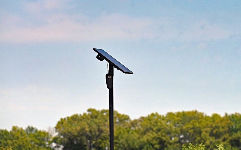
MapQuest has introduced a new “Surveillance Layer” that shows the locations of Flock Safety cameras along driving routes, giving users a way to identify where automated surveillance systems may capture their license plates while traveling.
The feature focuses on cameras made by Flock Safety, a company whose automated license plate recognition technology is used by law enforcement agencies and other organizations to help identify vehicles and investigate crimes.
These cameras capture vehicle information, including license plates, and can help investigators track vehicles associated with criminal activity. However, their expanding use has also prompted concerns about how location data is collected, stored and accessed, particularly when information can be used to trace a vehicle’s movements.
By displaying camera locations alongside driving directions, MapQuest’s new layer gives drivers additional visibility into surveillance infrastructure they might otherwise pass without noticing.
The feature could prove useful to privacy-conscious motorists seeking to understand where their vehicles may be recorded. It also adds to broader debates over the balance between public safety and personal privacy as automated license plate readers become more common across American communities.
The availability and accuracy of the camera locations will depend on the information included in the map. The feature’s introduction does not, by itself, establish how frequently individual cameras are used or what data specific agencies retain.
Comments
No comments yet. Be the first to share your thoughts.