
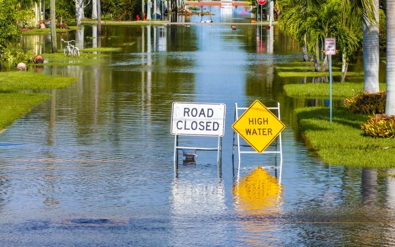
A nor'easter meandering off the Atlantic coast is delivering high surf, rip currents, coastal flooding and gusty winds to beaches from the Carolinas to New England this week.
The slow-moving system, which could gain tropical characteristics and be named Josephine, is expected to linger for several days. Coastal flood alerts are in effect for parts of coastal North Carolina, where 1 to 4 feet of inundation is possible. High surf advisories cover the North Carolina coastline with waves up to 14 feet. Further north, inundation up to a foot and waves to 12 feet are forecast from Virginia to New Jersey.
Wind advisories call for gusts up to 40 mph in the Outer Banks, where the worst impacts in winds and rain are concentrated. Gusts of 40 to 60 mph are possible from Morehead City, North Carolina, to Atlantic City, New Jersey, with isolated peaks near 70 mph. These conditions could down power lines and cause travel delays.
Significant beach erosion is expected along much of the East Coast. High surf and rip currents stretch from Florida's Atlantic beaches to New England. Water levels on river gauges from North Carolina to Maryland could reach moderate flood stage.
The storm is not anticipated to match the severity of the late-September nor'easter. Heaviest rain and strongest winds are expected to remain largely offshore, sparing most inland areas. The system is forecast to drift northward before moving out to sea later in the week.
Residents in vulnerable coastal spots, particularly the Outer Banks, are advised to monitor updates as conditions persist through Thursday.

Comments
No comments yet. Be the first to share your thoughts.