
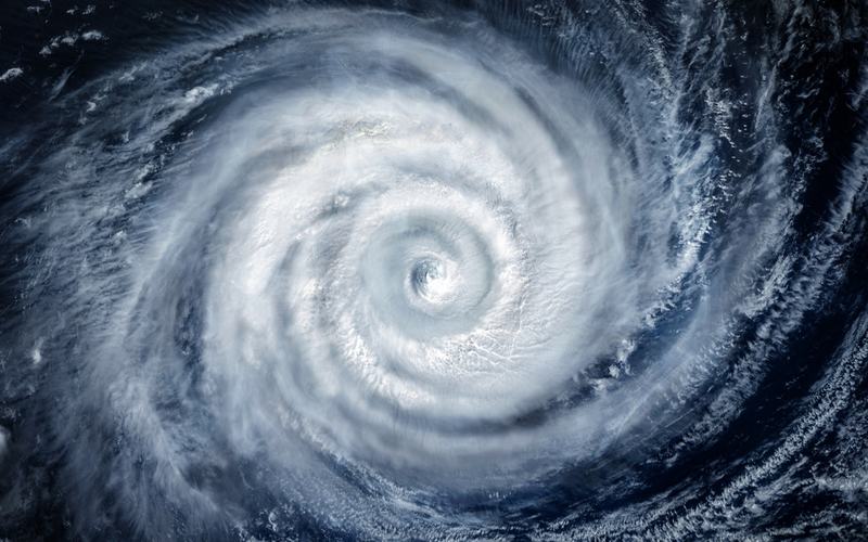
Hurricane Polo, which rapidly strengthened into a Category 5 storm earlier this week, weakened to Category 4 strength on Wednesday while moving northwest parallel to Mexico's Pacific coast.
The storm reached peak intensity Tuesday with maximum sustained winds of 180 mph and a minimum central pressure of 892 millibars, making it the second-most intense eastern Pacific hurricane on record by pressure.
As of Wednesday afternoon, Polo was centered about 150 miles south-southwest of Zihuatanejo, Guerrero, with winds near 145 mph, according to the National Hurricane Center. Forecasters expect the core to remain offshore through the week, though outer rainbands continue to affect coastal areas.
Mexican officials placed the states of Colima, Michoacán, Guerrero, Oaxaca, and Jalisco under heightened monitoring. The government activated Plan DN-III-E for disaster response and suspended classes in coastal zones of Guerrero and Michoacán. Public transportation was canceled in parts of Michoacán, and virtual learning was implemented in Guerrero on Wednesday.
Heavy rainfall totals of 3 to 6 inches, with isolated amounts up to 8 inches or more, are expected through Thursday in Guerrero and Michoacán, raising the threat of life-threatening flooding and mudslides in mountainous terrain. Ports and some flights, including 17 delays at Cabo San Lucas International Airport, were impacted.
President Claudia Sheinbaum noted that experts do not anticipate direct landfall, yet authorities urged residents to avoid beaches and follow local warnings. The U.S. Embassy in Mexico issued alerts highlighting hazardous surf and rip currents.
Polo formed on September 20 and underwent explosive intensification, gaining 110 mph in winds within 24 hours. This rapid development echoes patterns seen in recent Pacific seasons but has not prompted landfall concerns similar to Hurricane Otis in 2023.
The 2026 Pacific hurricane season has already produced multiple major storms, with Polo tying records for early-season Category 5 activity. Forecasters project the system will turn west-northwest and weaken further over the coming days while remaining a threat to coastal infrastructure and tourism in southwestern Mexico.

Comments
No comments yet. Be the first to share your thoughts.