
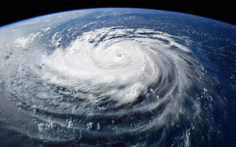
Residents across Hawaii are preparing for Hurricane Lowell as the Category 3 storm moves toward the islands, bringing the threat of heavy rain, flash flooding, mudslides, and dangerous winds.
As of Monday morning, Lowell was about 375 miles southwest of Lihue, Hawaii, and moving north-northeast at 14 mph, according to the National Hurricane Center. The storm had maximum sustained winds of 115 mph, making it a Category 3 hurricane on the Saffir-Simpson Hurricane Wind Scale.
A Hurricane Warning is in effect for Kauai County, including Kauai and Niihau, while a Tropical Storm Watch has been issued for Oahu. A Hurricane Warning also covers portions of the Papahanaumokuakea Marine National Monument.
The National Hurricane Center has warned that Lowell could produce heavy rainfall across Hawaii over the next several days, creating the potential for flash flooding and mudslides, particularly in areas of steep terrain. Dangerous surf and rip currents are also expected across parts of the islands.
Forecasters expect Lowell to continue moving north-northeast before making its closest approach to the western Hawaiian Islands. The storm has weakened from the Category 4 hurricane it was earlier in its approach to Hawaii, when maximum sustained winds reached 155 mph, but it remains a powerful hurricane.
Hawaii Gov. Josh Green issued an emergency proclamation earlier this month in response to tropical cyclones affecting the state. State and local emergency officials have urged residents to prepare for possible flooding, power outages and disruptions and to monitor official forecasts.
The latest forecasts call for Lowell to remain a significant weather threat as it passes near the islands. Residents in affected areas are being urged to follow instructions from local emergency officials and continue monitoring updates from the National Hurricane Center.

Comments
No comments yet. Be the first to share your thoughts.